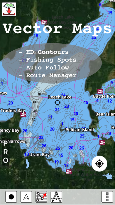
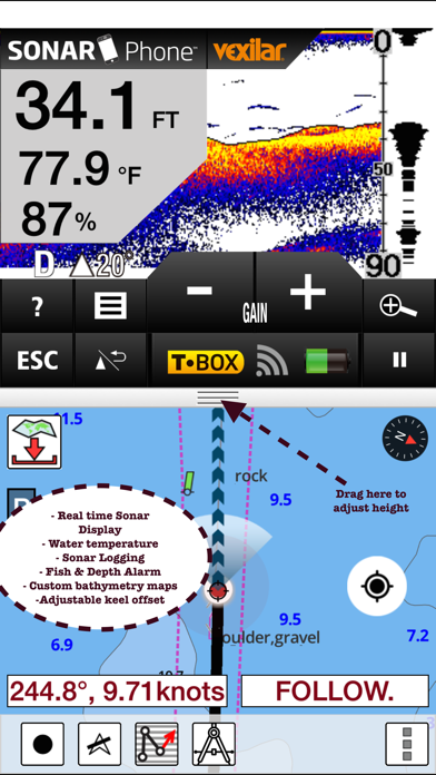
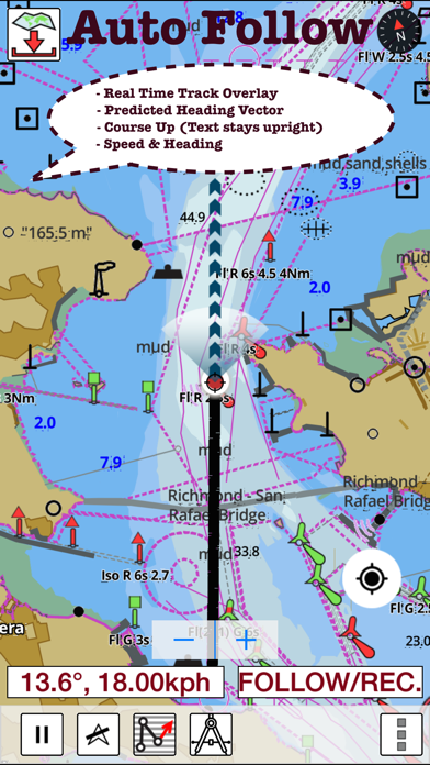
WindowsDen the one-stop for Navigation Pc apps presents you Netherlands: Marine Navigation Charts & Canal Maps by Bist LLC -- GPS Marine Charts App offers access to RNC charts covering Netherlands (Holland) (derived from NLHO data) with POI layers created from ENC charts. Only marine GPS app to have route assistance with Voice Prompts for marine navigation. It has route manager to create new boating routes or import existing GPX/KML routes. It supports Nautical Charts course up orientation.
* Voice Prompts for marine navigation (requires GPS )
-prompts when approaching a boating route marker
-Continous distance and ETA updates
-Alerts when sailing/boating off route
-Alerts when boating in wrong direction
*** For any question, contact support at gpsnauticalcharts. com / http://www.. We hope you enjoyed learning about Netherlands: Marine Navigation Charts & Canal Maps. Download it today for £28.99. It's only 49.90 MB. Follow our tutorials below to get Netherlands version 71.0.0 working on Windows 10 and 11.

 i-Boating:Marine