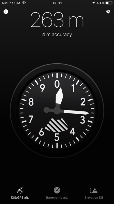
WindowsDen the one-stop for Navigation Pc apps presents you Altimeter X by LiveWorlds -- iOS/GPS altitude
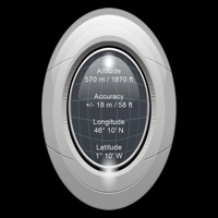
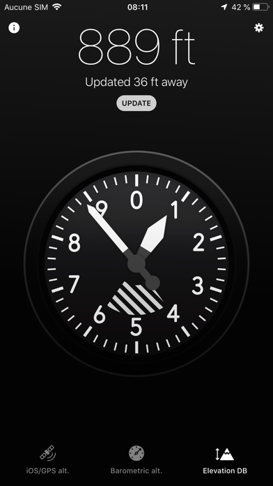
Altitude estimated by the device's location service. It works reasonably well in most situations but can't track small changes and can be unreliable indoor.
Barometric altitude (iPhone 6 minimum)
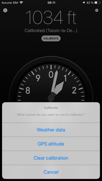
Altitude based on the device's barometer. This is how most hardware altimeters work. It can track very small relative variations but must be calibrated with weather data or GPS. Calibration with weather data grabs current sea-level pressure and temperature at your location from a nearby weather station.. We hope you enjoyed learning about Altimeter X. Download it today for £0.99. It's only 1.27 MB. Follow our tutorials below to get Altimeter X version 3.1 working on Windows 10 and 11.
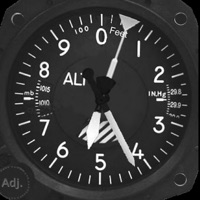
 Graphic Altimeter
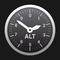
 Telemetron X