WindowsDen the one-stop for Navigation Pc apps presents you i-Boating:Europe Rivers - Canals/Waterways Maps & Charts by Bist LLC -- This App offers offline nautical charts, lake & river navigation maps covering inland rivers & waterways in Europe for fishing, kayaking, boating and sailing. First marine GPS app to have route assistance with Voice Prompts for marine navigation. You can create new boating routes or import existing GPX/KML routes. It supports Nautical Charts course up orientation. Includes Tide & Currents prediction.
►FEATURES
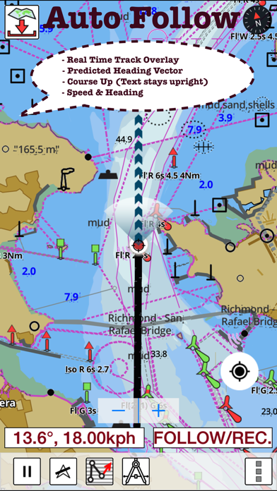
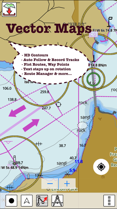
√ Beautiful and detailed Hardware/GPU accelerated vector charts (text stays upright on rotation)
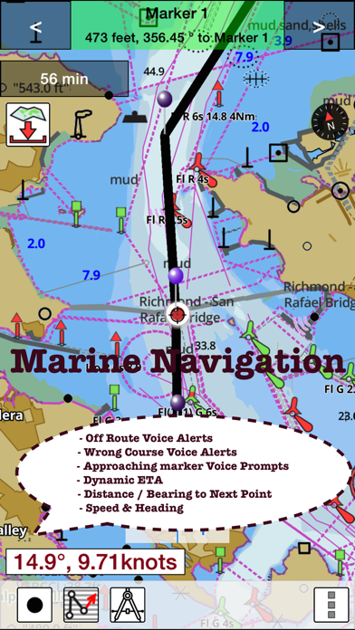
√ Query details of Marine object (Buoy, Lights, Obstruction etc).. We hope you enjoyed learning about i-Boating:Europe Rivers - Canals/Waterways Maps & Charts. Download it today for £19.99. It's only 71.64 MB. Follow our tutorials below to get i Boating version 52.0.0 working on Windows 10 and 11.
 i-Boating:Marine