WindowsDen the one-stop for Utilities Pc apps presents you survey : clinometer, compass and range finder by Kittidech Vongsak -- Used mainly for surveying and have been adapted for specialized purposes in fields like meteorology and rocket launch technology.
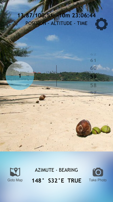
That combines viewfinder, clinometer, compass, GPS and map.
Triangulation consists of making such direction plots of the surrounding landscape from two separate standpoints. The two graphing papers are superimposed, providing a scale model of the landscape, or rather the targets in it. The true scale can be obtained by measuring one distance both in the real terrain and in the graphical representation.
Main Features:
* Simple to use
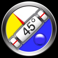
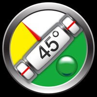
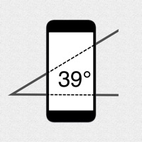
* Quickly mark your location, two-axis inclinometer and compass
* Full map integration
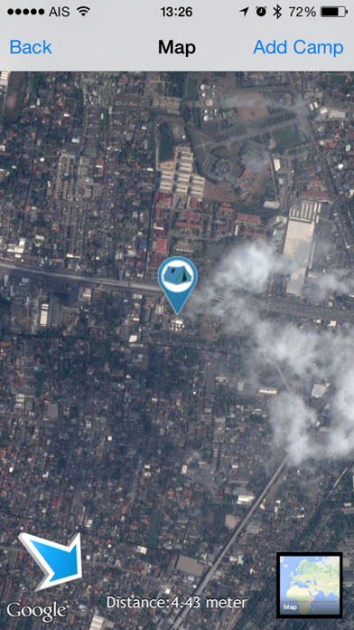
* Multiple views (map, satellite, hybrid)
* Distance from camp tracked
* Compass to find your way back to your camp.. We hope you enjoyed learning about survey : clinometer, compass and range finder. Download it today for £0.99. It's only 48.27 MB. Follow our tutorials below to get survey clinometer compass and range finder version 1.6 working on Windows 10 and 11.


 Offroad Clinometer